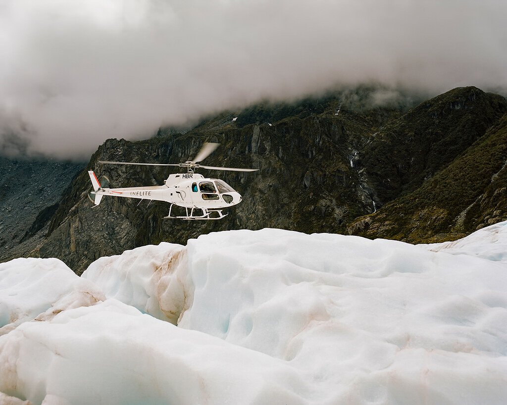
Of New Zealand’s 14 national parks, Fiordland National Park is the largest, arguably the most isolated and perhaps the least touched by humans.
It’s stunning.
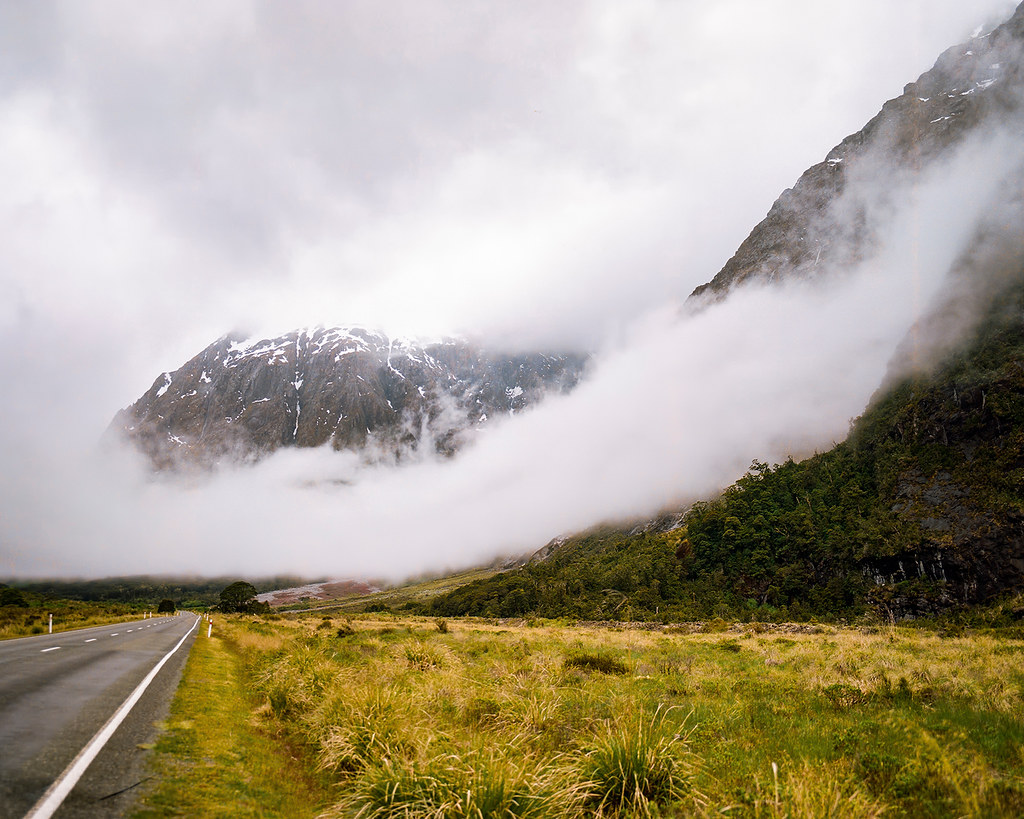
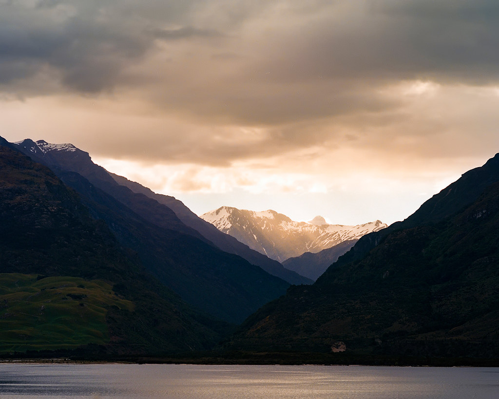
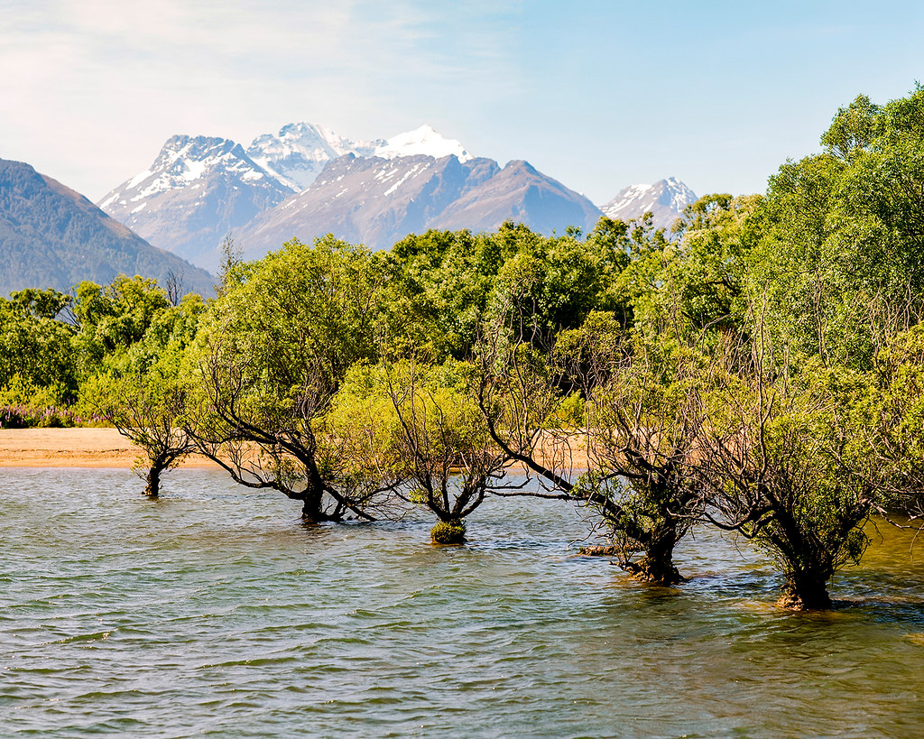
© 2016. Te Anau-Milford Highway in Fiordland National Park in the Southland region of New Zealand. Tuesday, Dec. 6, 2016. Portra 400, Pentax 6×7.
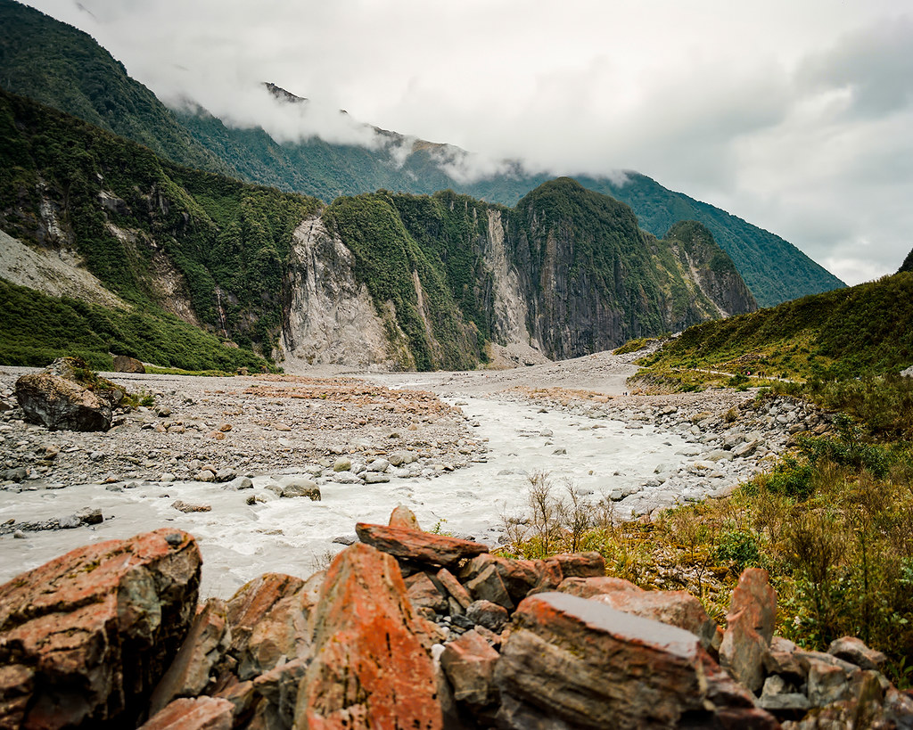
© 2016. Lake Marian waterfalls track in Fiordland National Park in the Southland region of New Zealand. Tuesday, Dec. 6, 2016. Portra 400, Pentax 6×7.
A single, two-lane highway runs through the park, with only a few unpaved roads branching off. There are a couple established tracks for multi-day trampers, but otherwise, much of the park is inaccessible to visitors. Even before the development of the modern tourism industry, Fiordland has remained largely unmodified by humans because of the steep, glacier-carved terrain as well as moody weather (an annual average of 200 rainy days!) and the resulting thick vegetation.
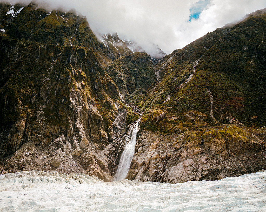
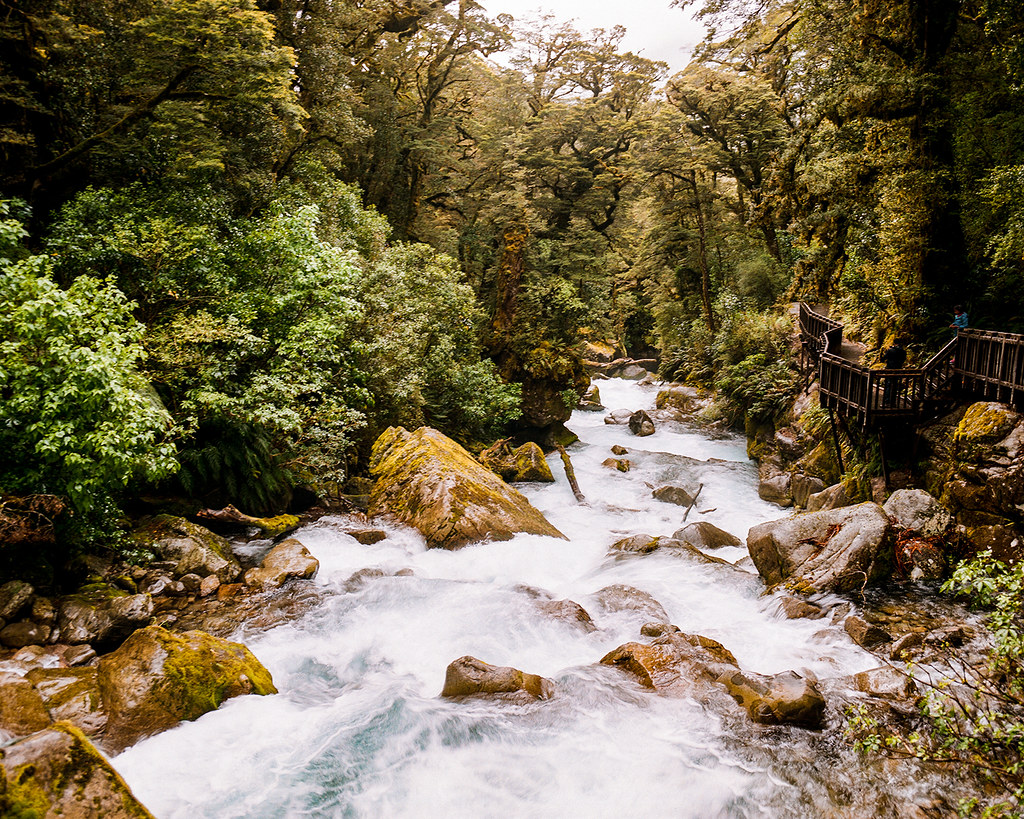
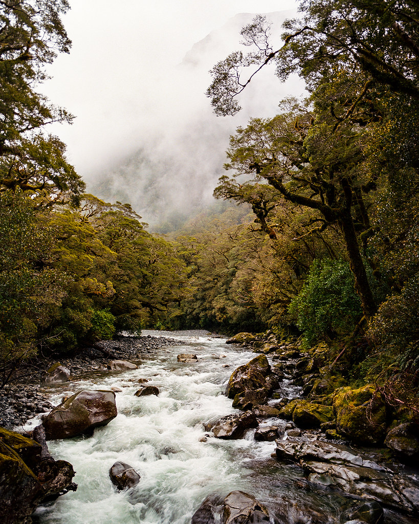
We drove from Te Anau north to Milford Sound, where we had an afternoon cruise scheduled. On the way, we made a couple stops, including a brief detour down Hollyford Road to hike a bit on the Lake Marian track, from which several falls are visible.
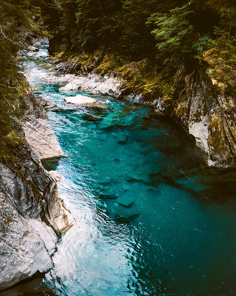
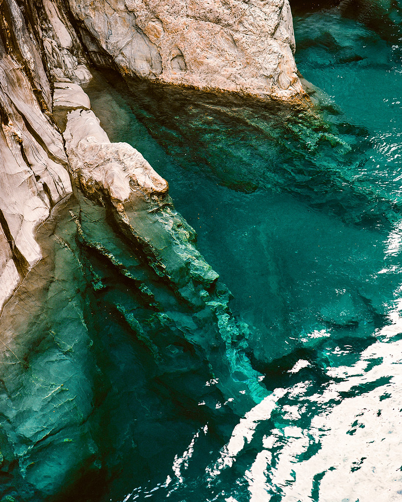
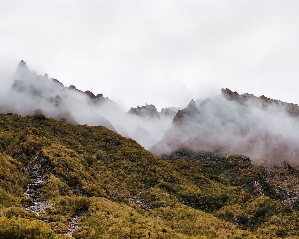
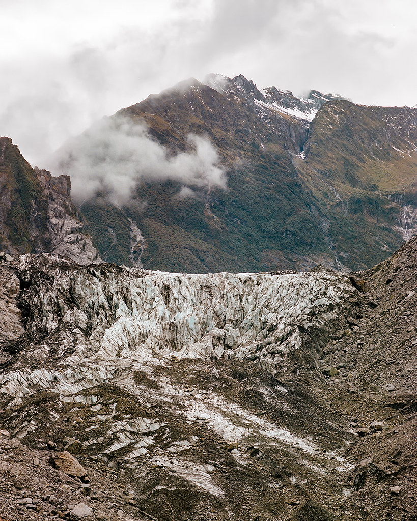
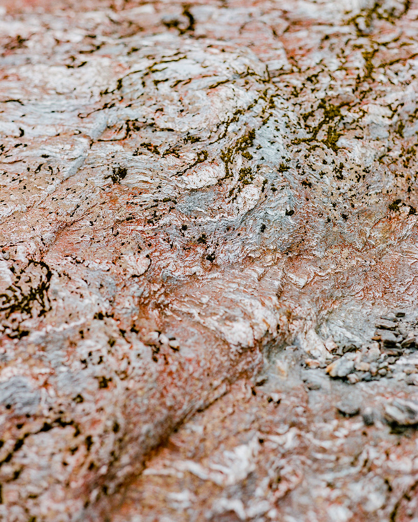
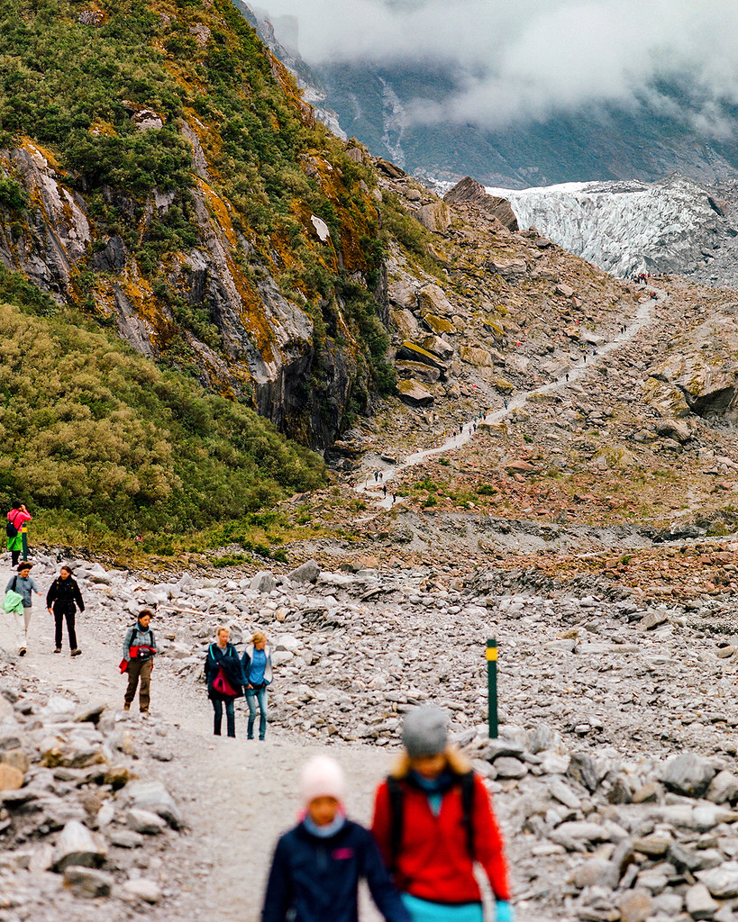
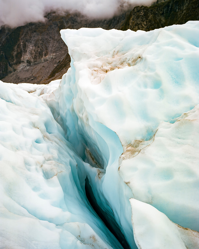
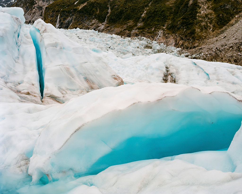
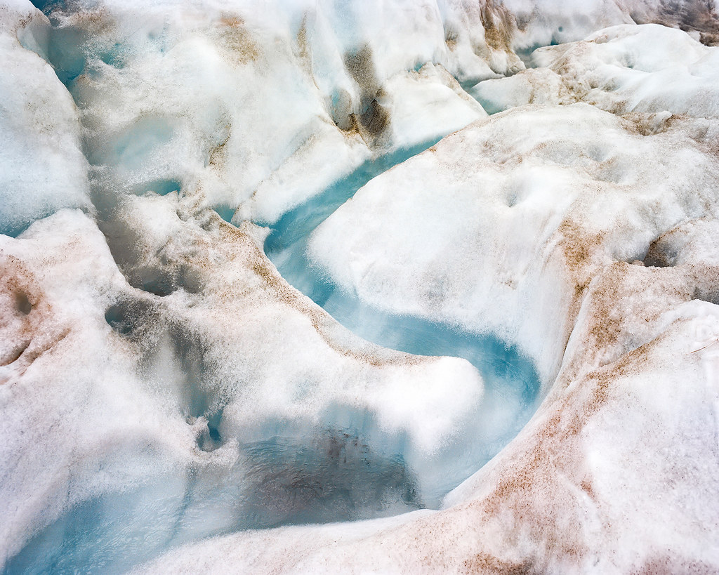
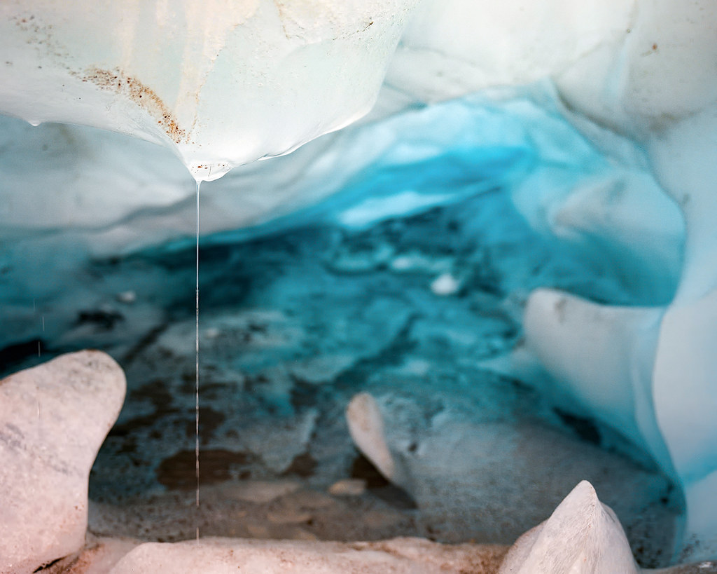
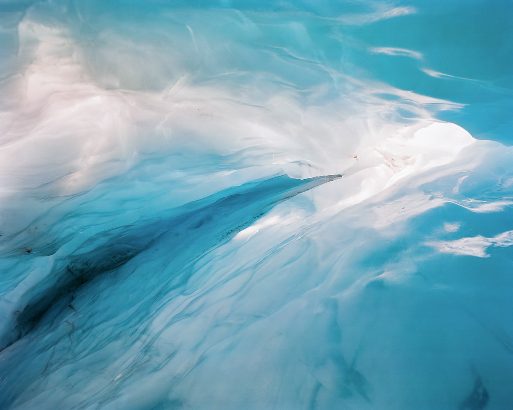
© 2016. Lake Marian waterfalls track in Fiordland National Park in the Southland region of New Zealand. Tuesday, Dec. 6, 2016. Portra 400, Pentax 6×7.
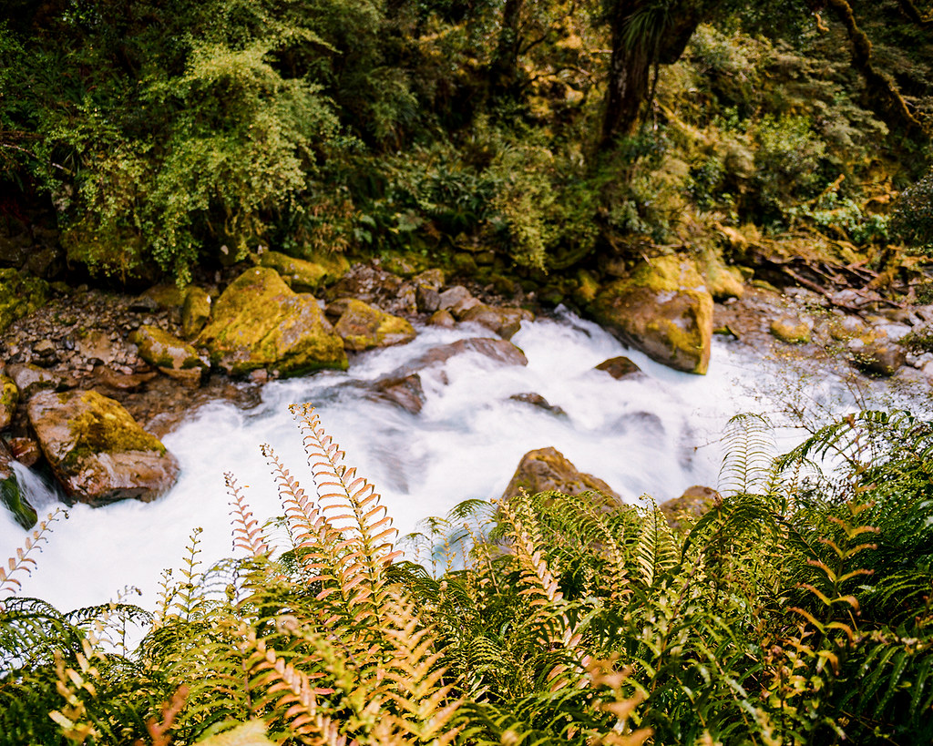
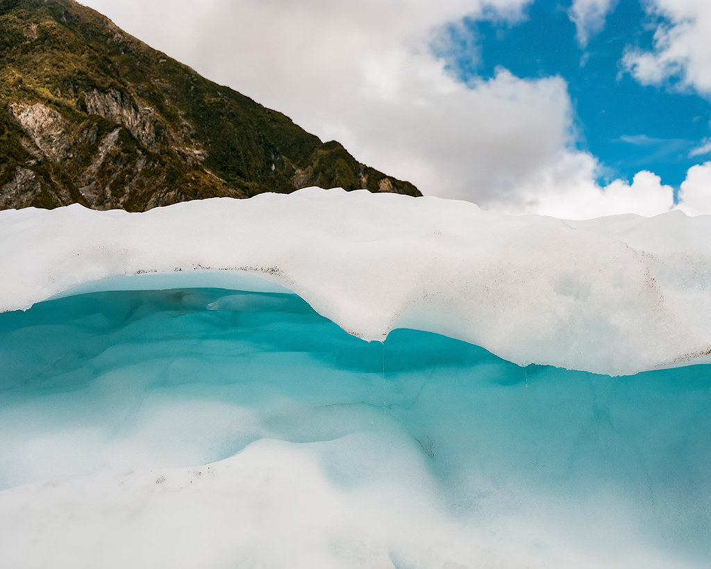
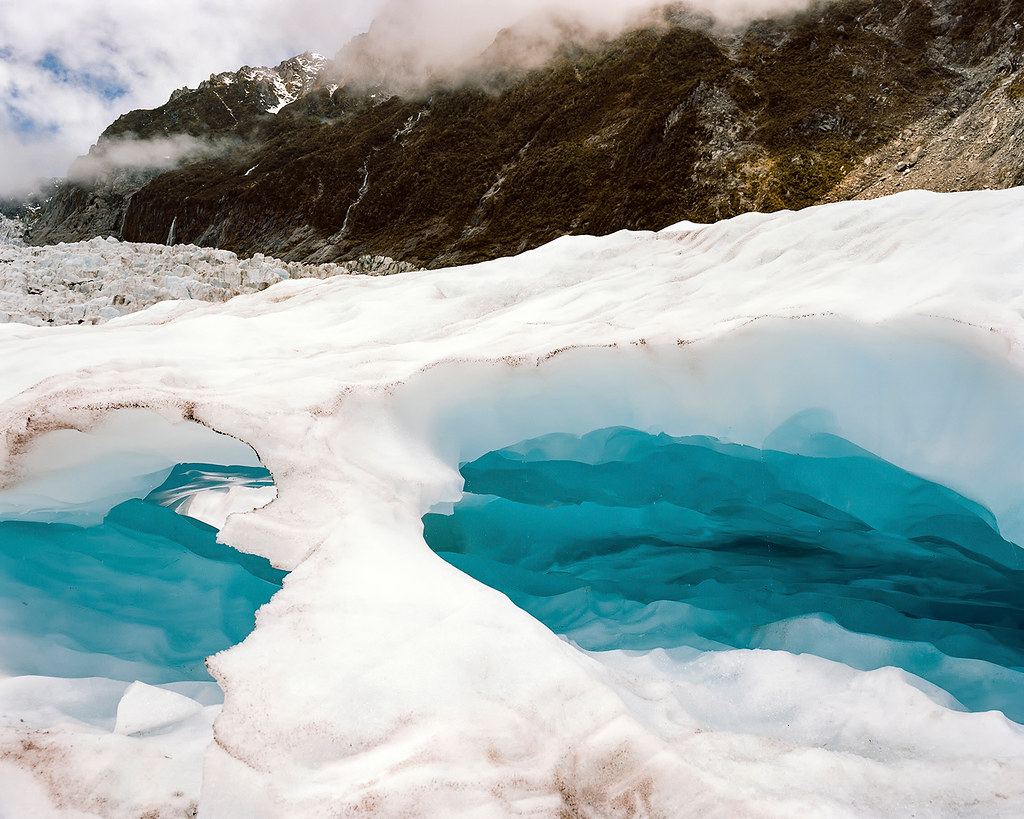
© 2016. Lake Marian waterfalls track in Fiordland National Park in the Southland region of New Zealand. Tuesday, Dec. 6, 2016. Portra 400, Pentax 6×7.
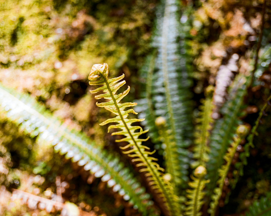
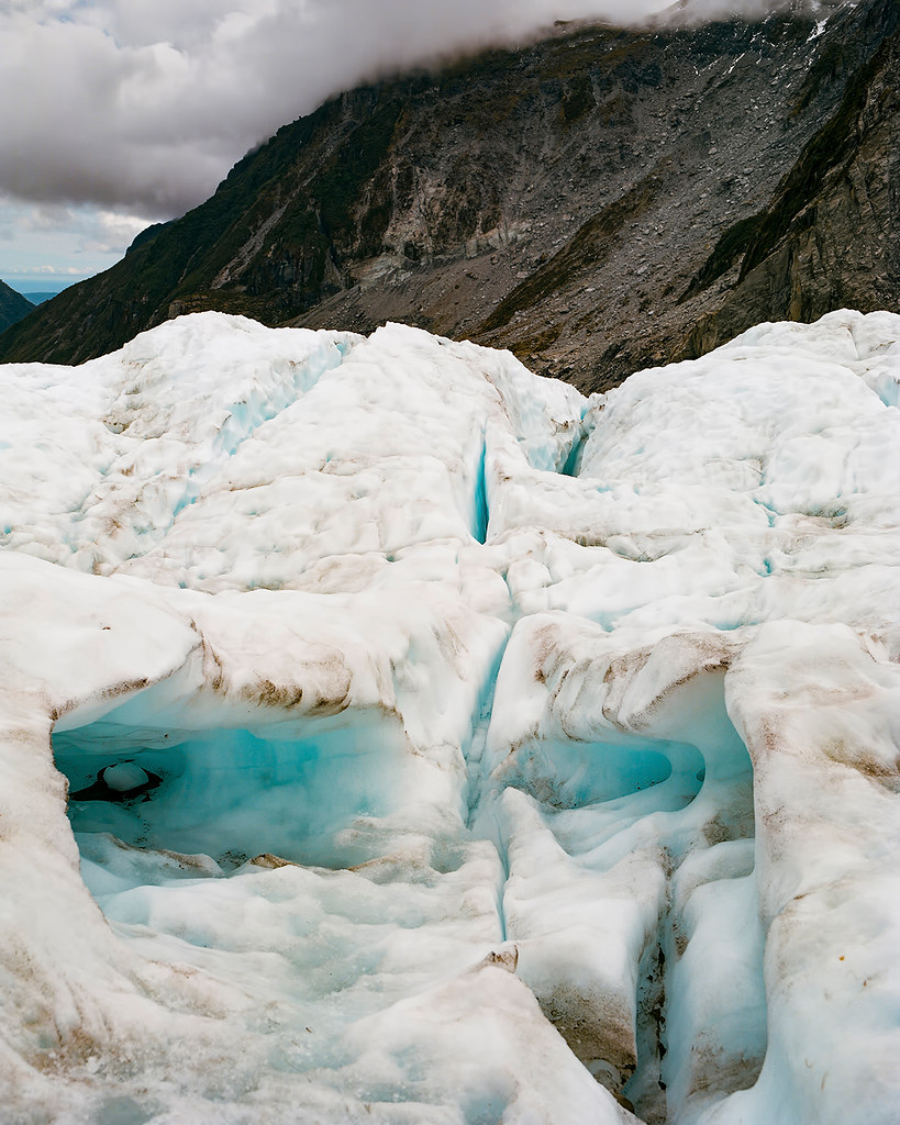
© 2016. Lake Marian waterfalls track in Fiordland National Park in the Southland region of New Zealand. Tuesday, Dec. 6, 2016. Portra 400, Pentax 6×7.
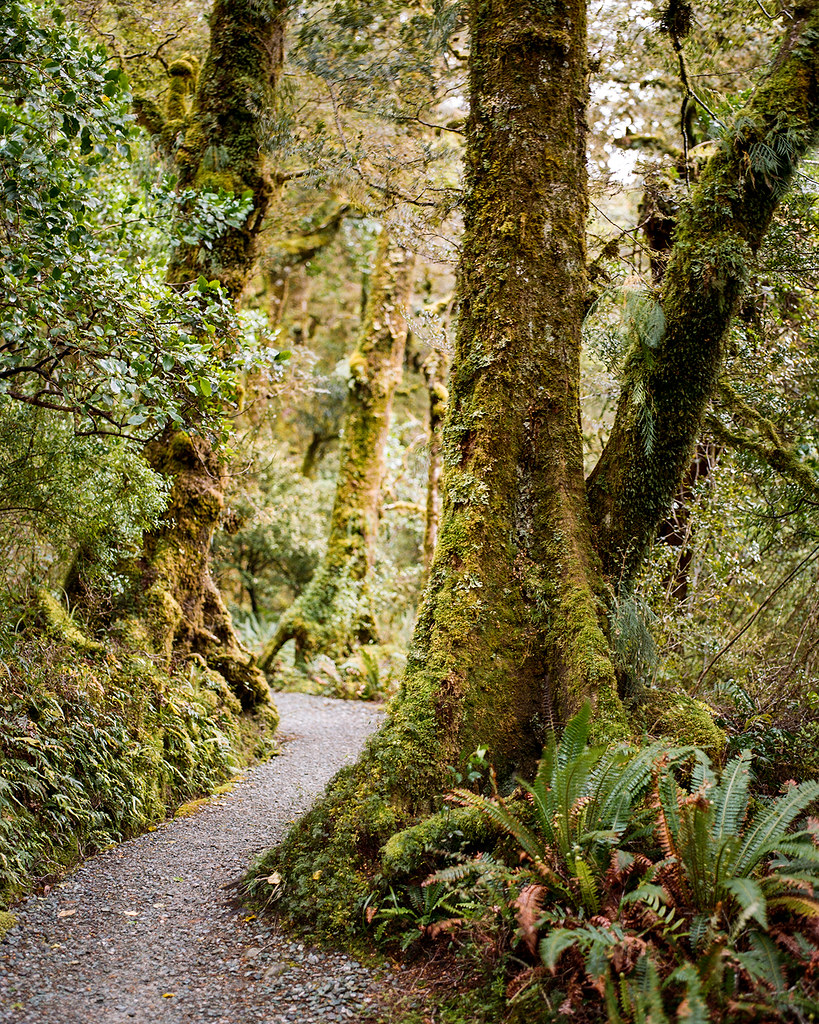
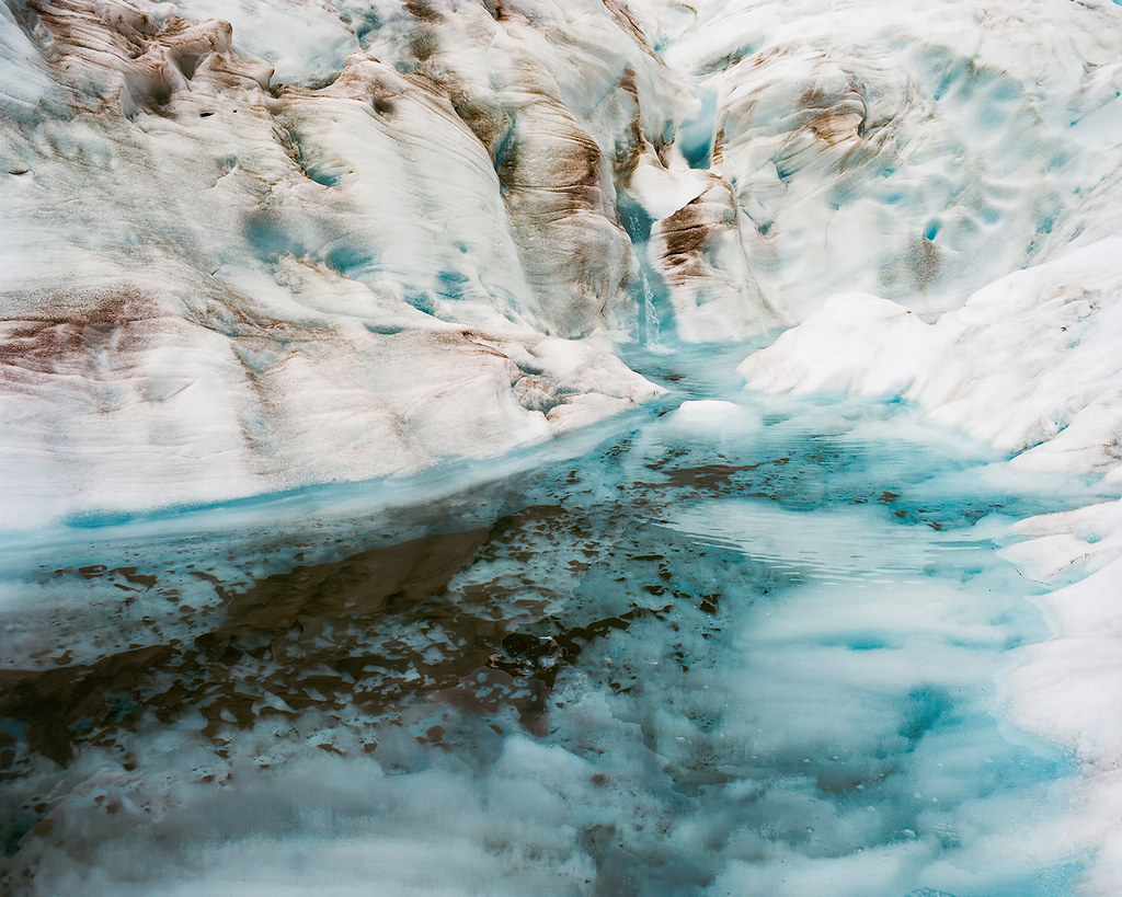
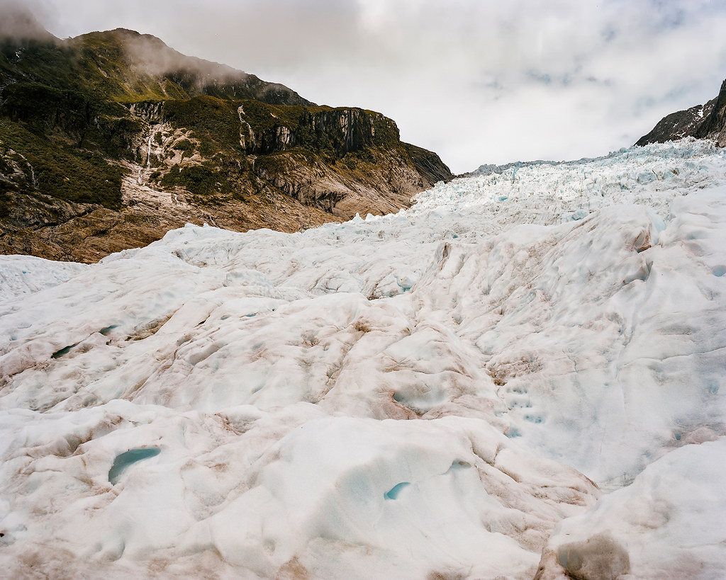
© 2016. Lake Marian waterfalls track in Fiordland National Park in the Southland region of New Zealand. Tuesday, Dec. 6, 2016. Portra 400, Pentax 6×7.
© 2016. Lake Marian waterfalls track in Fiordland National Park in the Southland region of New Zealand. Tuesday, Dec. 6, 2016. Portra 400, Pentax 6×7.
Unfortunately, we didn’t get anywhere near Lake Marian itself — roundtrip, the entire track would have taken at least a few hours.
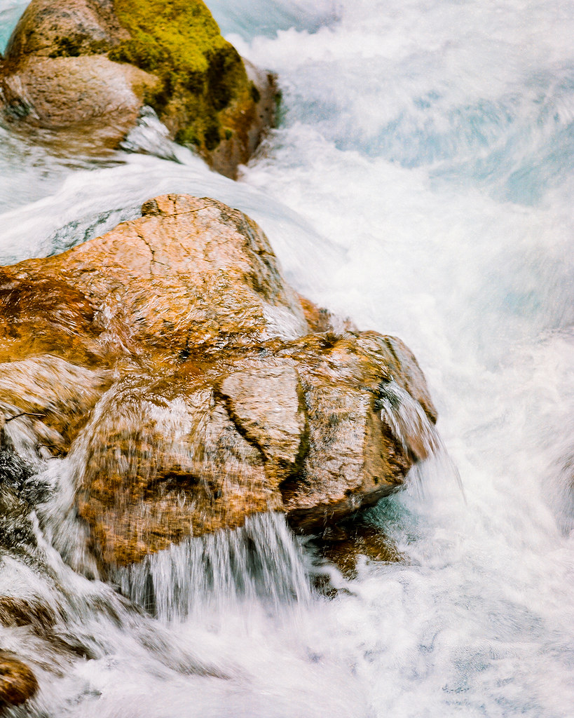
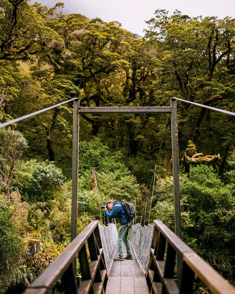
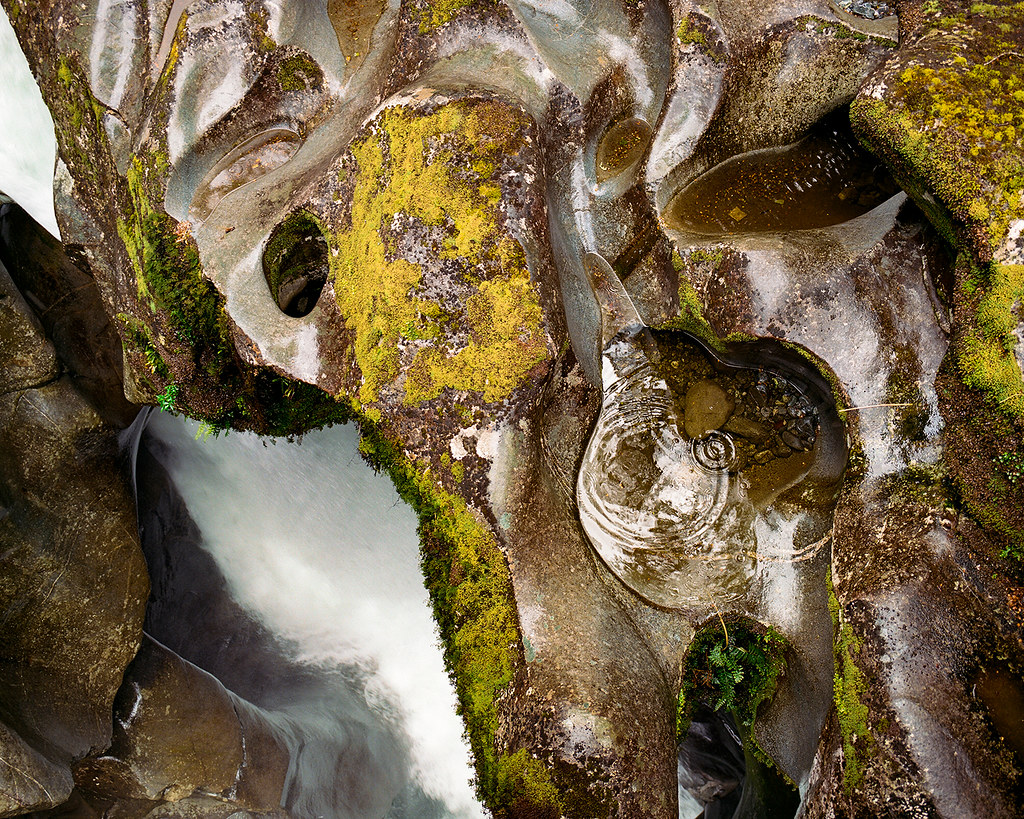
We did stop at “the Chasm” before arriving at Milford Sound. The Cleddau River’s thundering waters have, over time, carved out steep channels and falls in the rock that are visible from a couple foot bridges.
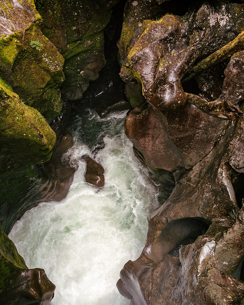
© 2016. The “Chasm” track over the Cleddau River in Fiordland National Park in the Southland region of New Zealand. Tuesday, Dec. 6, 2016. Portra 400, Pentax 6×7.
© 2016. The “Chasm” track over the Cleddau River in Fiordland National Park in the Southland region of New Zealand. Tuesday, Dec. 6, 2016. Portra 400, Pentax 6×7.
© 2016. The “Chasm” track over the Cleddau River in Fiordland National Park in the Southland region of New Zealand. Tuesday, Dec. 6, 2016. Portra 400, Pentax 6×7.
Next up: Milford Sound.
A selection of these photos can be purchased as prints at prints.christhedunn.com.