On the second day of New Zealand summer, Jeff and I took a ferry across the Cook Strait, tasted wine at a Blenheim winery and drove halfway down the entire South Island on the West Coast, surviving some hairpin turns on the Great Coast Road, making spontaneous stops at Tasman Sea beaches and famous rock formations and then hurtling south past a glorious sunset and under a brilliant canopy of crystal-clear constellations on the clearest night we’d had yet.
It was a long, glorious day from Wellington to Franz Josef Glacier.
© 2016. Fox River Beach on the West Coast, New Zealand. Friday, Dec. 2, 2016. Ektar +2, Pentax 6×7.
New Zealand, we found, has nicknames for its major highways — Highway 5 south out of Rotorua is the “Thermal Explorer Highway” — and the Great Coast Road lives up to its name. After enduring mostly cloudy skies for much of our North Island escapade, we were overjoyed to see beautiful, golden sunshine as we drove down the South Island’s beautiful West Coast.
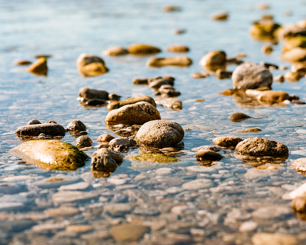
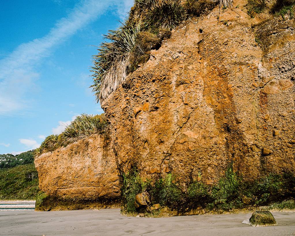
The Great Coast Road offers access to a number of small Tasman Sea beaches. We happened to pull off at the Fox River Beach, where we discovered the tide was low enough for us to cross the rock-lined river mouth…
© 2016. Fox River Beach on the West Coast, New Zealand. Friday, Dec. 2, 2016. Ektar +2, Pentax 6×7.
© 2016. Fox River Beach on the West Coast, New Zealand. Friday, Dec. 2, 2016. Ektar +2, Pentax 6×7.
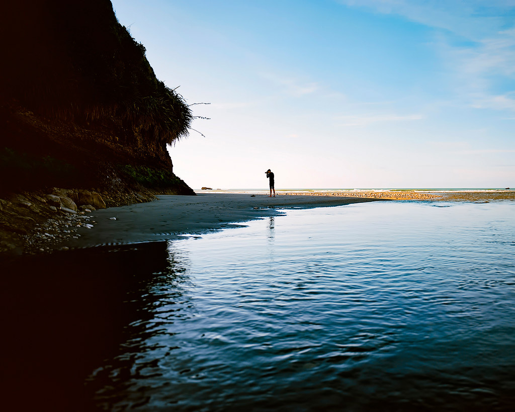
© 2016. Fox River Beach on the West Coast, New Zealand. Friday, Dec. 2, 2016. Ektar +2, Pentax 6×7.
…to access a really pleasant sandy beach with towering rock formations.
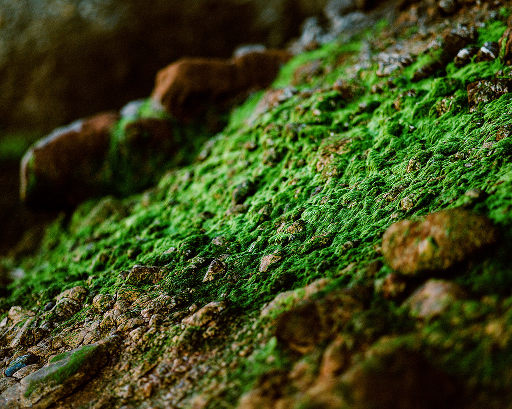
© 2016. Fox River Beach on the West Coast, New Zealand. Friday, Dec. 2, 2016. Ektar +2, Pentax 6×7.
Oh, and a beach cave:
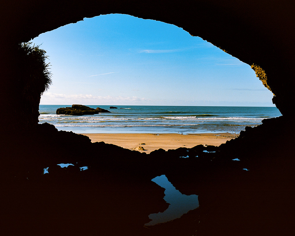
© 2016. Fox River Beach on the West Coast, New Zealand. Friday, Dec. 2, 2016. Ektar +2, Pentax 6×7.
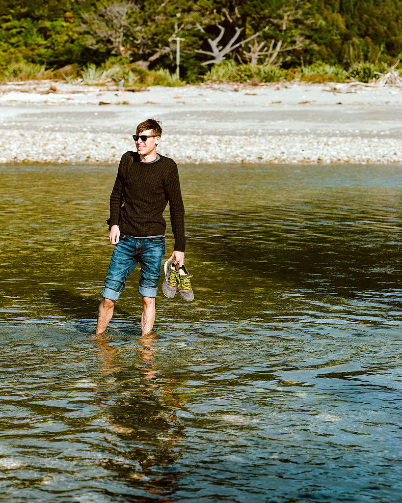
We also took one of my favorite photos of us together on the trip at this beach:
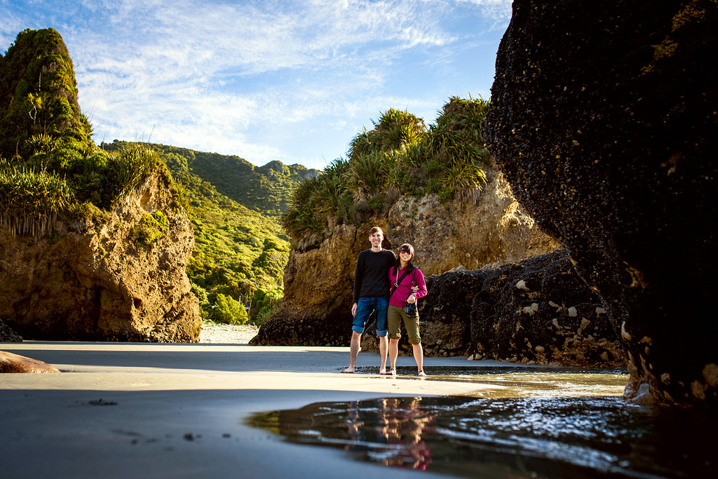
© 2016 by Jeff Lautenberger. Self-timer on a DSLR camera.
After brushing the sand off our feet, we got back in the car and continued racing southward, trying to see as much of the West Coast for as long as we could before the sun set.
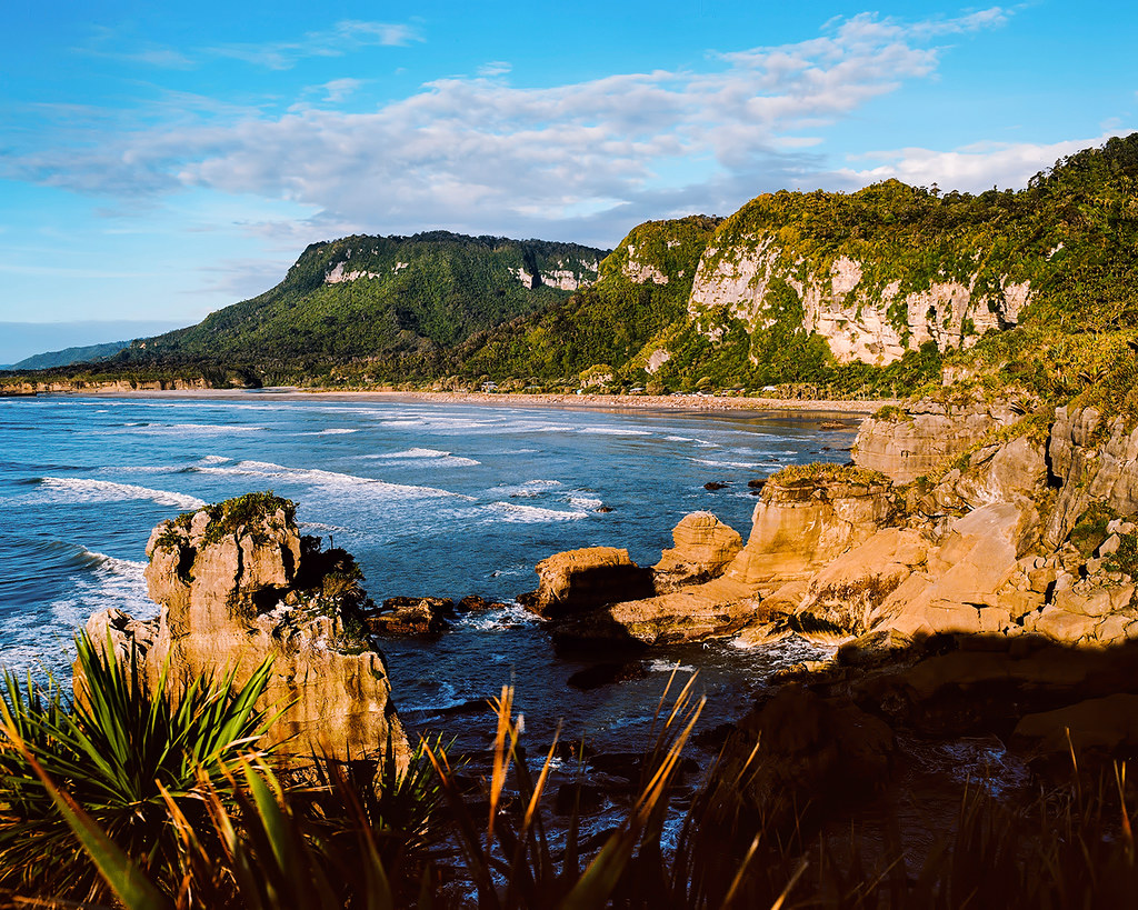
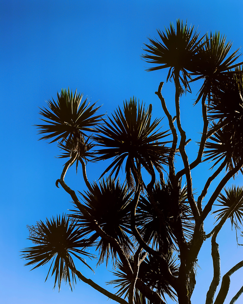
© 2016. Paparoa National Park in the West Coast, New Zealand. Friday, Dec. 2, 2016. Ektar +2, Pentax 6×7.
Fortunately, we arrived at Punakaiki at just the right time.
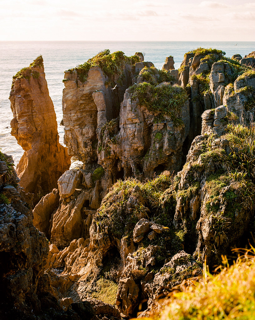
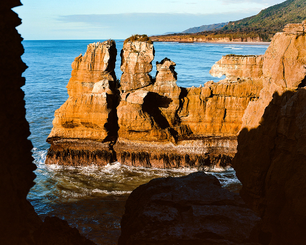
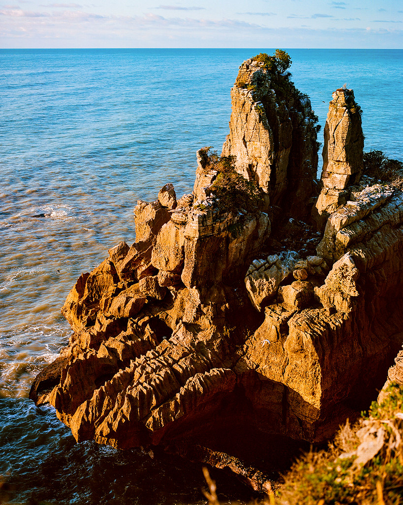
© 2016. Punakaiki Pancake Rocks and Blowholes in Paparoa National Park in the West Coast, New Zealand. Friday, Dec. 2, 2016. Ektar +2, Pentax 6×7.
© 2016. Punakaiki Pancake Rocks and Blowholes in Paparoa National Park in the West Coast, New Zealand. Friday, Dec. 2, 2016. Ektar +2, Pentax 6×7.
Punakaiki itself is a “blink and you’ll miss it” community on the West Coast Road. To access the Pancake Rocks (which are limestone formations 30 million years in the making), you park in a car park on the east side of the highway, cross the highway and start walking on a paved trail. It couldn’t be simpler.
© 2016. Punakaiki Pancake Rocks and Blowholes in Paparoa National Park in the West Coast, New Zealand. Friday, Dec. 2, 2016. Ektar +2, Pentax 6×7.
© 2016. Punakaiki Pancake Rocks and Blowholes in Paparoa National Park in the West Coast, New Zealand. Friday, Dec. 2, 2016. Ektar +2, Pentax 6×7.
As for the “Blowholes” part? The tide was too low for us to experience the sea waters roiling and bursting about the limestone formations. I was happy enough that we got to enjoy the view on such a fine evening.

© 2016. Punakaiki Pancake Rocks and Blowholes in Paparoa National Park in the West Coast, New Zealand. Friday, Dec. 2, 2016. Ektar +2, Pentax 6×7.
After we’d walked the entire trail and relished the sunlight, we got a small pizza at Pancake Rocks Cafe and then continued our drive southward under what would be the only night sky clear enough for us to see the stars. Ironically — because our trip hashtag was #wherethestarsarestrange, in reference to being in the southern hemisphere — I couldn’t find a safe spot in the utter darkness to pull off the highway so we could enjoy the stars.
I guess we’ll just have to go back.
A selection of these photos can be purchased as prints at prints.christhedunn.com.

Leave a comment